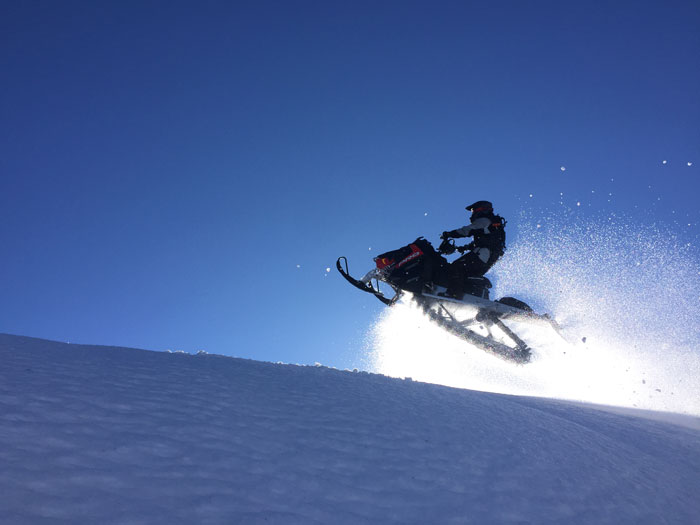
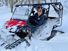
“Make your own tracks!”
Why The Skyline Snowmobile Complex?
"Don’t ride a boring trail ... boondock the Skyline!"
“It's the Best Snowmobiling in the U.S. That's why you come here!" -Glen Z.
|
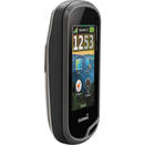
Free Mobile Device Map
Snowmobiling Maps for your Phone
The following mobile topographic maps track your position as you snowmobile the Skyline Complex. Cellular reception is NOT needed to track your position. The maps highlight HIGH-RISK avalanche areas, based on hillside slope (27°-50°) and aspect (300°-150°) only. Extreme caution should be taken when entering areas highlighted in red- especially during times of high avalanche danger- see UtahAvalancheCenter.org. The maps do not highlight all avalanche risk areas. Use maps at your own risk!
STEPS TO GET THE MOBILE MAPS:
|
|
|
|
As seen on "HOOKED on Utah" TV Show
Where is the Skyline Complex?
Need a new place to ride? Try the Skyline!
|
The Skyline Snowmobile Complex is located 2 hours south of Salt Lake City on U.S. Highway 89. The complex can be accessed from one of four canyons in the Sanpete Valley, east of the towns of Fairview, Ephraim, Manti, and Mayfield, Utah.
Skyline is a great place to ride if you want to avoid the crowded canyons closer to urban areas. At an altitude of over 10,000 feet (3,048 meters), the Wasatch Plateau provides one of the premier snowmobiling complexes in Utah and the United States.
|
"Then something... woke up inside him, and he wished to go and see the great mountains, and hear the pine-trees... and wear a sword instead of a walking-stick." ~ J.R.R. Tolkien
Trail Elevation & season
|
The Skyline Snowmobile Complex is high-mountain sledding, with the best riding at elevations between 8,000’- 10,000' above sea level. While racing across the mountain top, you can often see down both sides of the mountain into the valleys below.
For optimal conditions, I recommend planning your trip sometime between December 21st and April 15th. You can ride before or after these dates, but snow conditions may be unreliable. |
“Skyline is an awesome place to ride!”
|

|
|
|
Trailheads
"Riding for every skill level"
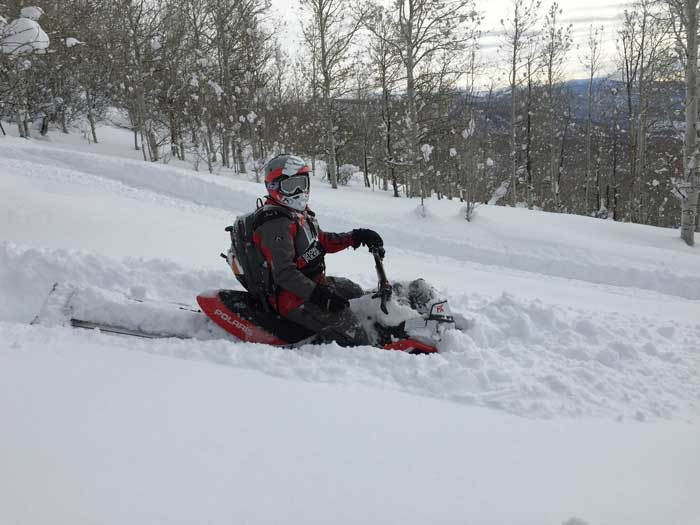
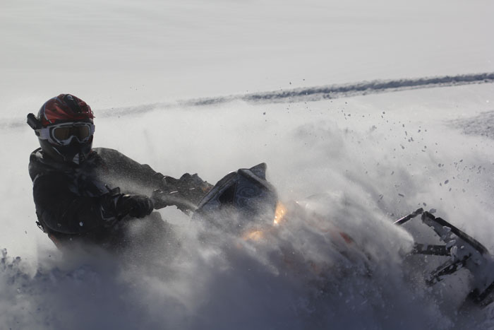
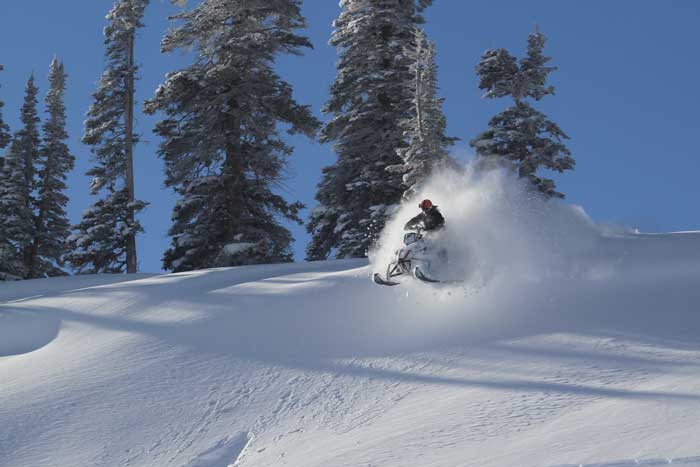
The Skyline Complex has something for everyone! There are miles of mountain valleys for relaxing rides, as well as hill climbs and bowls for the thrill seeker. Skyline is famous for untouched powder and backcountry boondocking!


Over 140 miles of snowmobiling trails are groomed by the Utah Division of Parks and Recreation- which gets you to the powder! Riding begins at the following trail heads:
North Skyline Trail: This trail stretches along the summit of the Wasatch Plateau and offers excellent snowmobiling. You can access the trail from the parking lot at the top of Fairview Canyon at the junction of Highways 31 & 264. (N39.6778 W111.3130, elevation 8,856') Groomed trails – 66 miles.
Skyline South Trail: Great for boondocking and hill climbing! The trailhead begins at the Miller’s Flat parking lot located just east of Huntington Reservoir near mile post 18 on Highway 31. (N39.58245 W111.25134, elevation 8,986') Groomed trails – 26.2 miles.
Ephraim/ Manti/ Mayfield Trails: Ride groomed trails up Ephraim, Manti, and Mayfield Canyons to back-country play areas at the summit. This complex is located away from the major population centers of Utah and offers uncrowded riding conditions. Groomed trails – 26.9 miles.
|
“I love this snowmobile complex... many places allow riders of varying skill levels to ride together- I can climb the hills while my wife stays in the flats.” -Herriman, UT
|
Weather & Snow Information
|
Weather Information: Snow Depth:
When Snowmobiling in the backcountry please be prepared for extreme weather; including subzero temperatures, winter storms, and wind. Do Not Ride without a GPS unit! 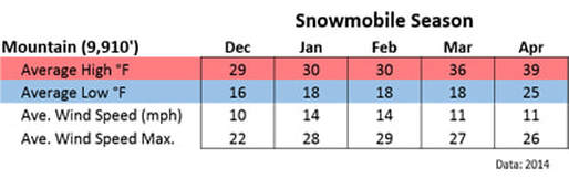
|
“Keep calm there's snow in the forecast!”
“What I'm thinking about while others complain about winter!”
|
where to stay
"Clean, cozy, affordable rooms!”
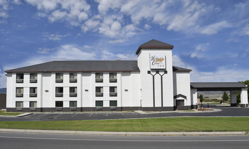
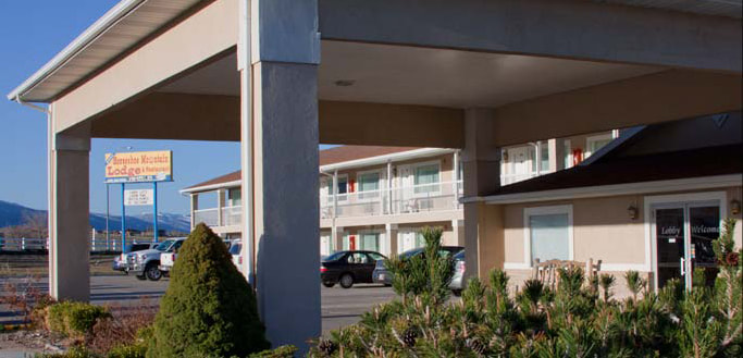
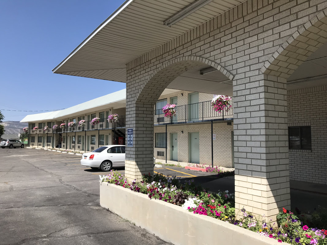
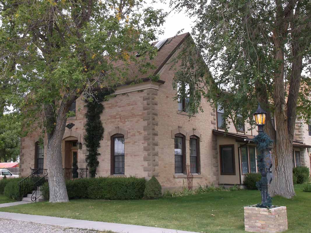
When was the last time you had an overnight outing with your spouse? Snowmobiling is an awesome way to refill your couple bucket! If a warm shower, a delicious meal, and a comfortable bed sounds good after an exciting day on the mountain, consider a local Hotel or Bed & Breakfast. Snowmobiling with your spouse can be Heaven!
SNOWMOBILE RENTALS: Cox Automotive & Sports
"If you've never done an overnight snowmobiling trip... make an exception this time!"
Non-resident permits
|
If your snowmobile is NOT registered in Utah, you will need to buy a non-resident permit online at: OHV.Utah.Gov
Non-resident permits can also be purchased locally at: Maverik on Main Street in Ephraim and Gunnison. |
|
Trail Map information
“Today is your day! Your mountain is waiting. So… get on your way.” ― Dr. Seuss
Skyline Snowmobile map
Skyline Snowmobile Map
$2.00
Sold out The Central Utah Skyline Snowmobile Map covers one of the best places to mountain sled in Utah. The topographical map highlights groomed trails and back-country play areas near the towns of Fairview, Ephraim, Manti, and Mayfield. Don't miss out this year! Everything you need to know for a GREAT ride! ORDER NOW BEFORE THEY ARE GONE and start planning a great weekend! - FREE SHIPPING! While Supplies Last- Don't miss out!
"Complex featured on the AYL TV Show!"
|
Free Mobile Device Map- recommended!

Snowmobiling Maps for your Phone
The following mobile topographic maps track your position as you snowmobile the Skyline Complex. Cellular reception is NOT needed to track your position. The maps highlight HIGH-RISK avalanche areas, based on hillside slope (27°-50°) and aspect (300°-150°) only. Extreme caution should be taken when entering areas highlighted in red- especially during times of high avalanche danger- see UtahAvalancheCenter.org. The maps do not highlight all avalanche risk areas. Use maps at your own risk!
STEPS TO GET THE 3 MOBILE MAPS:
Free gps dATAGPS Data for the Skyline Snowmobile Complex.
Data Formats:
For free software to convert the above files to other GPS formats, visit: GPS Babel.org
Free Printable Map
| ||||||||
If you have additional questions about riding the Skyline Snowmobile Complex, don’t forget to email or call. -Kevin
WARNING: Snowmobiling the Skyline can lead to a winter-long addiction- Ride Responsibly!
Sanpete County travel

PO Box 148
191 North Main Manti, Utah 84642 |
|
|
ARAPEEN OHV TRAIL
|